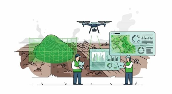
Top 5 Drone Mapping and Surveying Drones for Construction
Drone mapping and surveying have become a standard part of modern construction and land measurement work, with drones
Drone mapping and surveying have become a standard part of modern construction and land measurement work, with drones

Modern surveyors have to juggle accuracy, time, and manpower more than ever before. The rise of solo surveyors
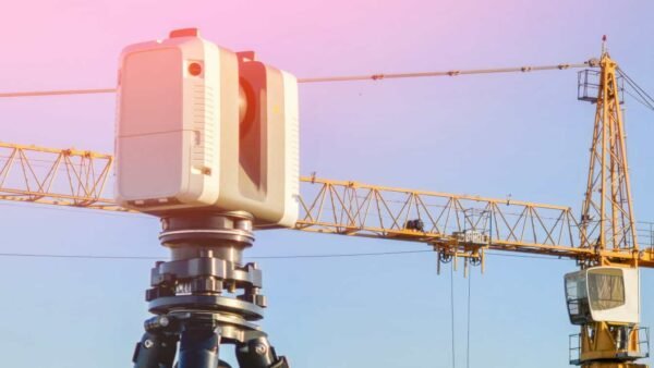
At Harper Surveying, we believe precision drives progress. With the rise of 3D laser-scanning tools, construction and surveying

Top Surveying Equipment is transforming the way professionals capture data in 2026. The surveying industry is constantly evolving,
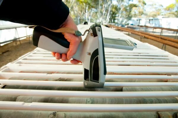
Handheld X-ray fluorescence (XRF) analyzers exist for one reason: to maintain speed and keep work moving. With little

Construction teams lose 35% of their time to non-optimal work, about $177.5 billion in U.S. labor each year.