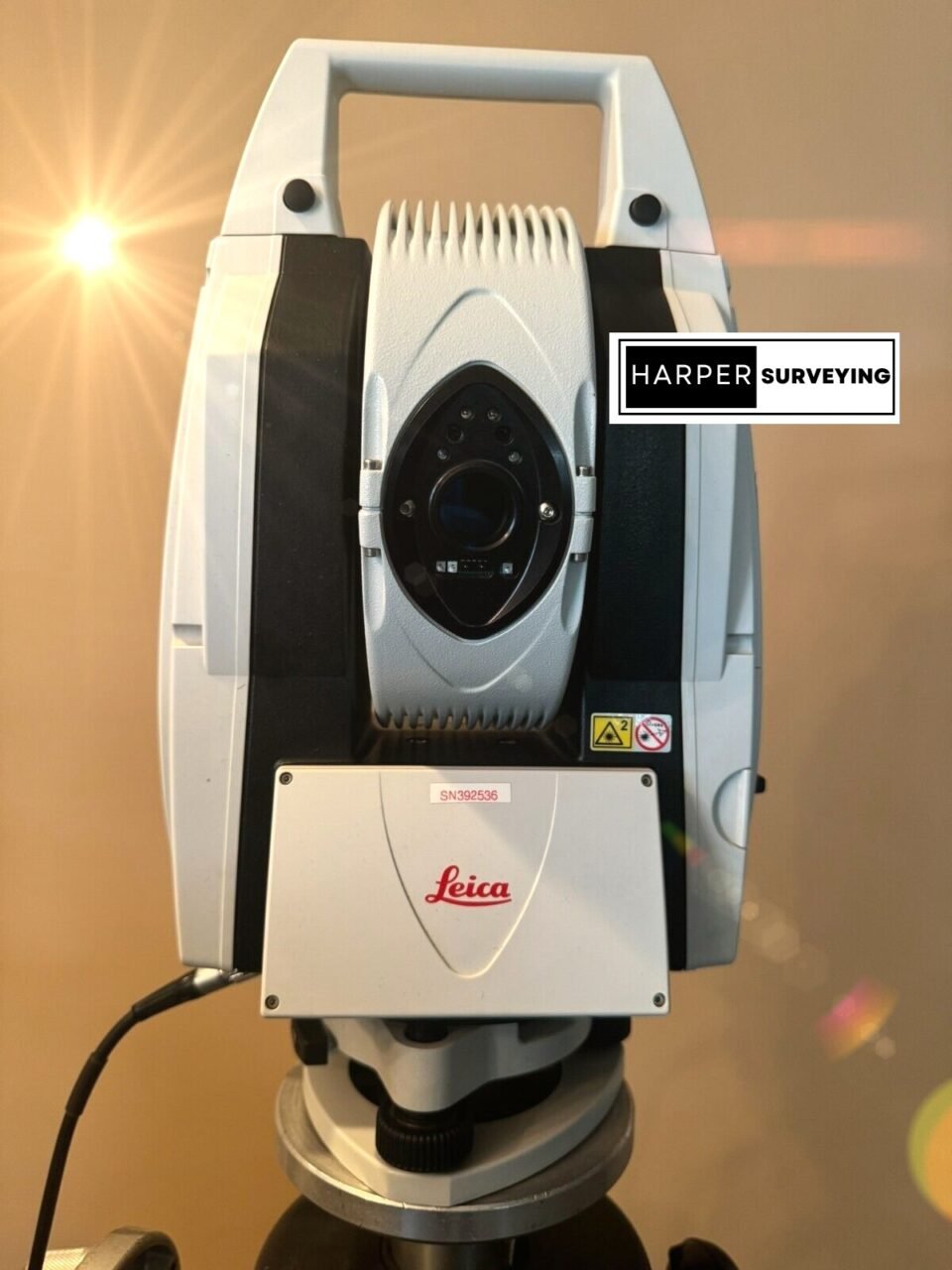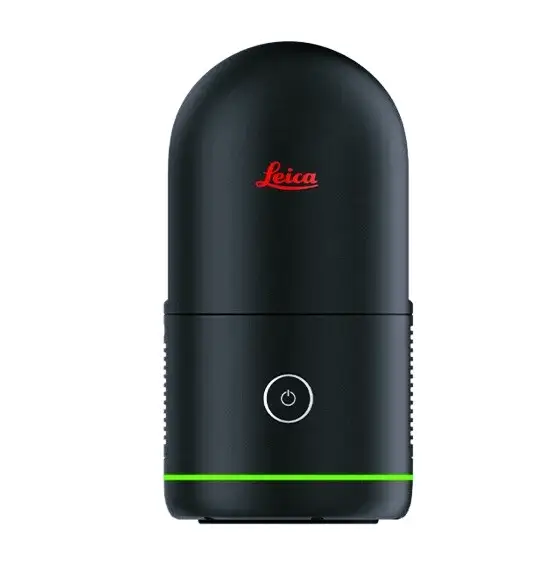
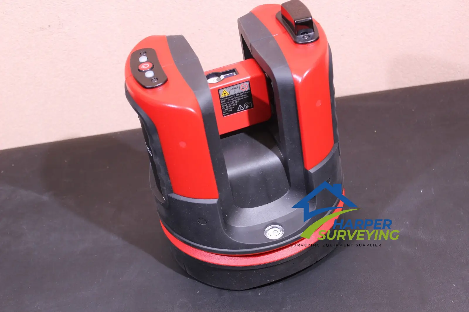
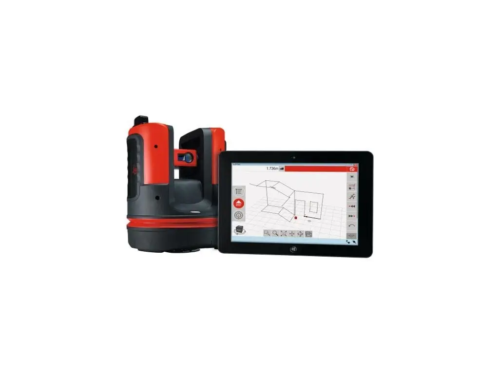
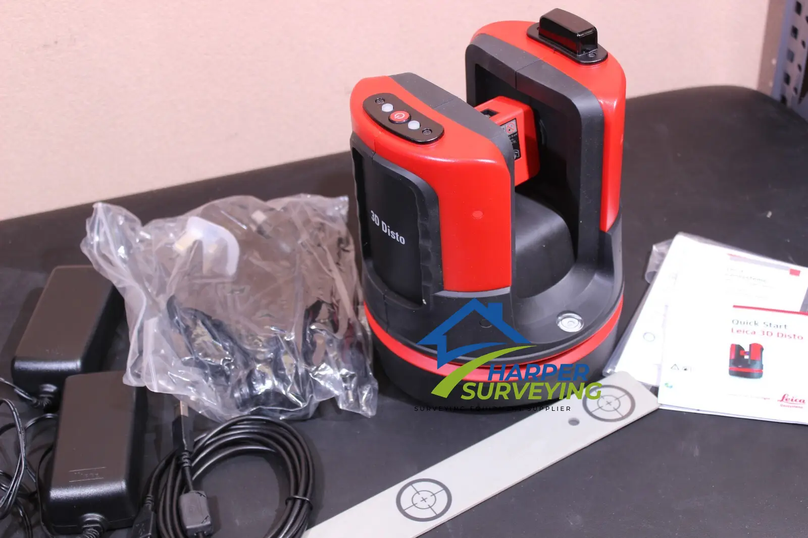
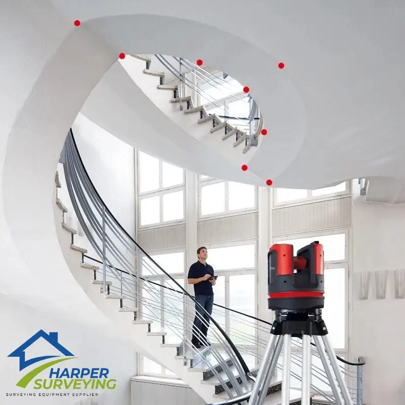
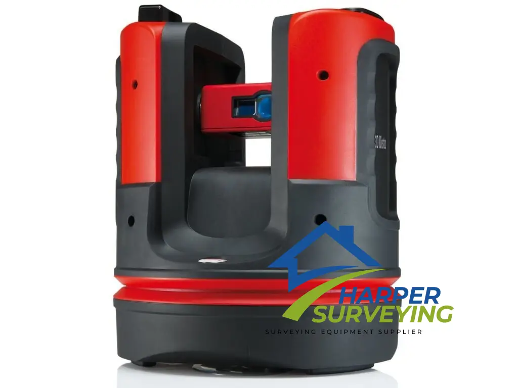
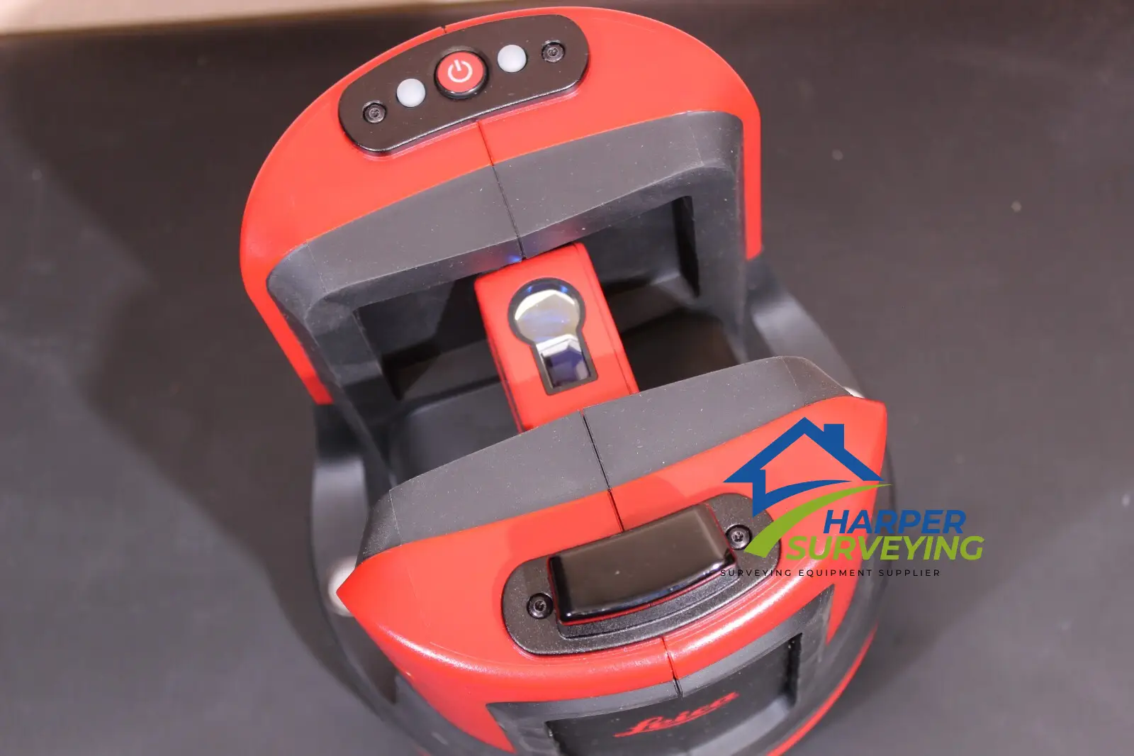
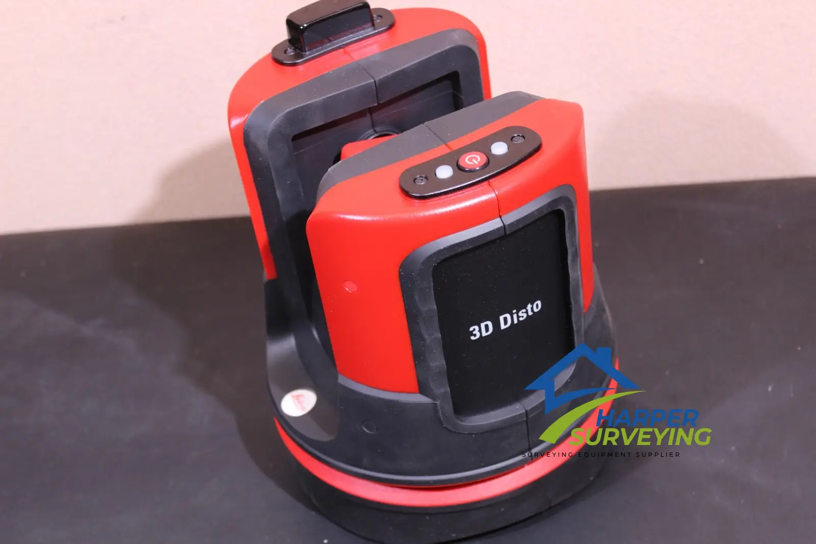
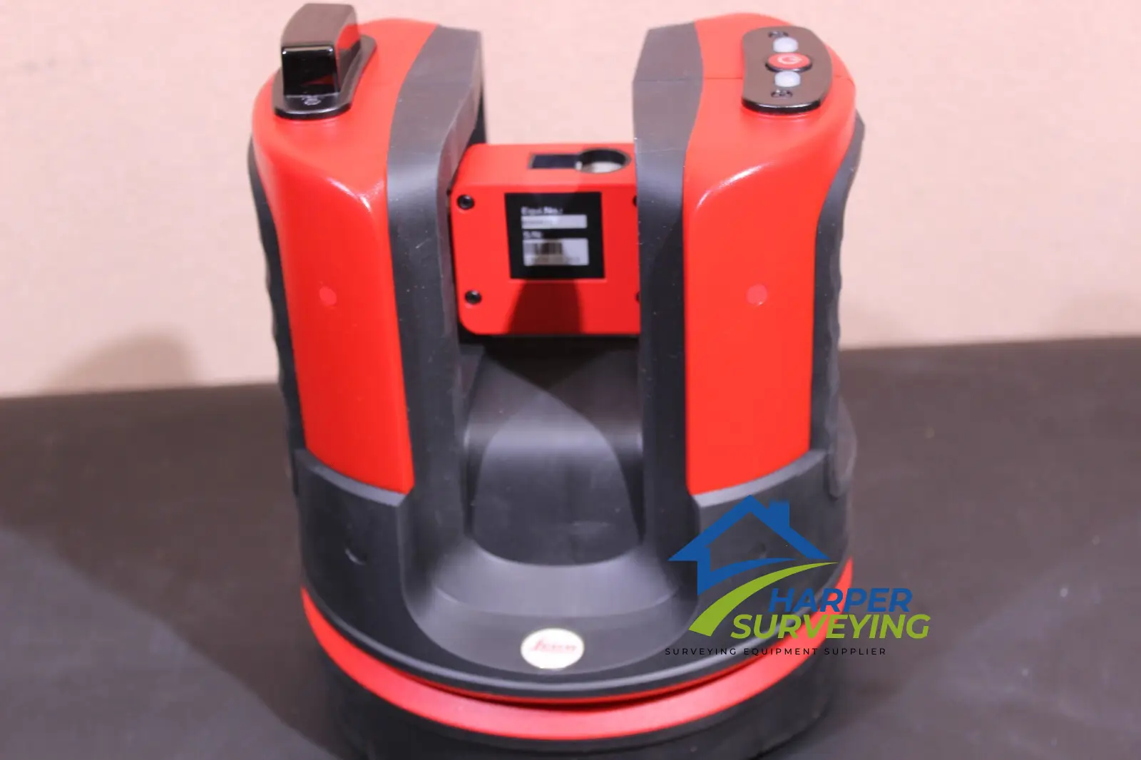
The Leica 3D DISTO Laser Scanner Measurement is a robust, precisely manufactured measuring instrument. A highly accurate combination of distance and angle measurements determine the precise position of each point targeted with the integral camera and captured with the laser beam. In short: the Leica 3D Disto detects the location and the height of the target point.
The high-precision Leica 3D Disto is used whenever the use of conventional measuring tools is only possible with a great deal of time and effort. With the various measurement functions you can record all spatial situations precisely and use the data afterwards in your customary software environment. With the realistic data you can produce the final parts directly. The time-consuming template and modification work during installation is no longer necessary. The fully digitalized workflow saves valuable time.
Leica 3D DISTO Key Feature
The Leica Geosystems 3D Disto is a unique tool for capturing and projecting accurate three dimensional measurements. The speed and precision of the 3D Disto brings unprecedented efficiency to applications like:
- Creating CAD templates: CNC is only good as your file. A 3D Disto is the bridge between reality and CAD. When you are cutting to fit and you know your original measurements are accurate, you can cut even the most expensive materials with confidence.
- 3D Visualization and Navigation: The upgraded Leica 3D Disto Software for smart devices using Windows® now displays results in three dimensions. With the 3D navigation, it is even easier to check measured points.
- Capturing As-Built Measurements: The best way to eliminate surprises later in the job is to know what you are starting with. The 3D Disto accurately captures 3D coordinates with the precision you need for planning. If your work involves expensive materials that are difficult to cut, transport or are processed off-site, you know accurate “as-built” measurements are critical.
- Building Information Modeling (BIM) : Take DXF data directly into your Windows tablet and use the 3D Disto to layout anchor points, transfer heights or verify critical construction locations.
Leica 3D DISTO can do everything
- Measure plan position, height and distance, in all three spatial axes
- Intuitive user guidance from Assistants
- Measure from one station – every visible point can be measured by targeting with the visible laser dot – without the need to walk to the target
- Measure to difficult-to-reach points, such as roof edges
- As-built records of ceiling, floor and roof surfaces, volumes, inclination, falls, height differences, angles
- Plumbing of points, parallel offsetting of axis, levelling, transferring levels from wall to wall. Forget spirit level and measuring tapes!
- Realtime display of measurements as drawings on the screen
- Positionally accurate representation of the measured points in the camera display
- Pocket calculator
- Recording information in the form of standard tables, photos, DXF files, text files at the press of a button
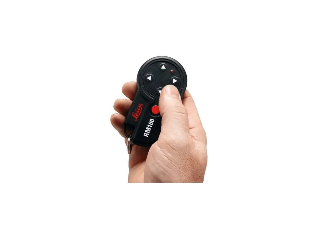
- Remote control measurements
- Data import and export on PC and USB stick
Measuring a room It is this simple to create a room
Details are everything when measuring up a room. The application program “Room scan” provides additional functions for measuring wall surfaces and automatically measures areas predefined by you. You can also reference your measurements to your site’s level datum.
Leica 3D DISTO additional key feature
- Suitable for all the measurements in the room
- Measurement of separate points referenced to level datum
- Automatically measure all walls surfaces, horizontal or vertical: Simply define the area to be measured, the spacing between measurements and start. No detail is forgotten, angles and out-of-plane features are captured
- Fold-out mode: change from plan to elevation – for measuring the details on walls, for viewing visualizations or for checking previously measured values/points
- Useful tools for measuring windows and pipe connections reduce the amount of work involved
- Automatic creation of drawings with borders, folding marks and data export: Data can be printed without the need for further processing
Quick plumbing
Perfect for plumbing points up or down – without having to stand over the plumbing point: you measure to the point to be plumbed. The laser dot shows you the precise position of the plumbed point.
Quick staking out
Mark a point quickly and easily on a wall: Simply point, define the horizontal or vertical distance. The desired point is displayed at the press of a button.
Parallel lines
Measure two points on a straight line and enter a parallel distance. Wherever you now point, the laser dot moves precisely on the parallel line.
Level
Mark and measure the reference points at the same height on the walls and sloping surfaces. Installing e.g. ceiling tracks: Simply measure the reference point and point at the stakeout position.
Level reference plates
Attach the level markings and measure the height differences to a reference point. Ideal e.g. for attaching and transferring level reference plates.
Height control
Some heights are difficult to determine because you cannot measure a direct distance, e.g. with trees or overhead power lines in the way. Just measure one point on the floor and turn the instrument towards the target point. The height is calculated.
Leica 3D DISTO Specification
| Specifications -US Standard | |
| Range | 1.6’ up to 165’ |
| Laser type | Class 2 |
| Measuring units | m, ft, in |
| Measuring range | Horizontal 360⁰, Vertical -80⁰ to > 90⁰ |
| Tie Distance accuracy | 33’ ≈ 0.04”, 98’ ≈ 0.08”, 164’ ≈ 0.16” |
| Circular level setting accuracy | 1⁰/0.04” |
| Digital Pointfinder | Zoom magnification: 1x, 2x, 4x, 8x |
| X-Range technology | yes |
| Communication | Cable: USB type A, wireless, WLAN, SD card with 164’ range Data formats: import dxf, ccv export: dwg, dxf, csv, jpc Remote Control (IR) range = 98’ |
| Leveling range | ± 3° |
| Pointfinder with zoom | 8 × |
| Picture file format | .jpg |
| Memory for pictures | tablet (not included) |
| CAD data format on device | .dxf, .dwg |
| General data interface | WLAN |
| Data interface for 3D point data | WLAN |
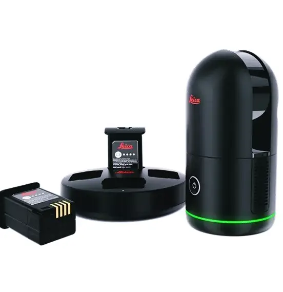
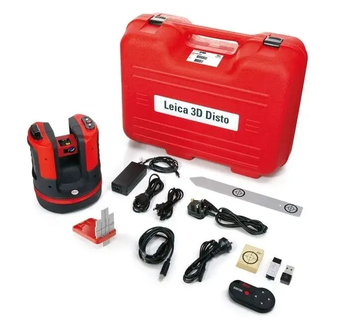
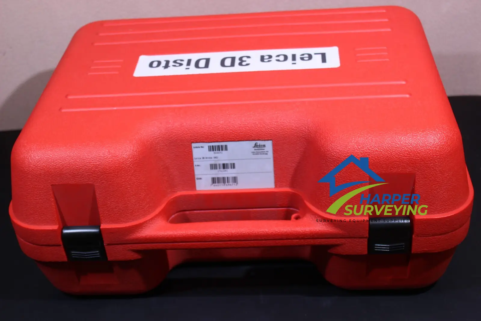
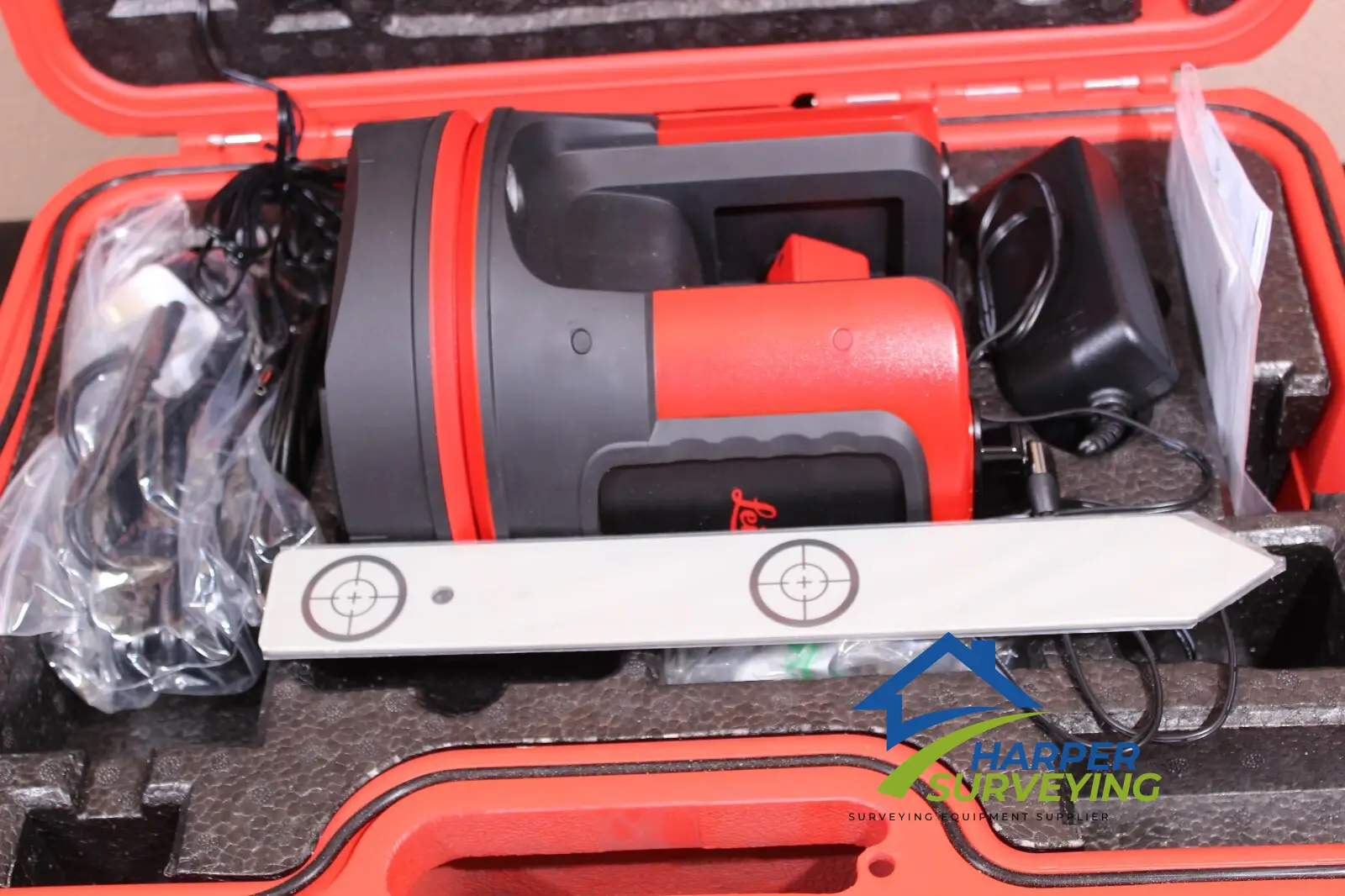
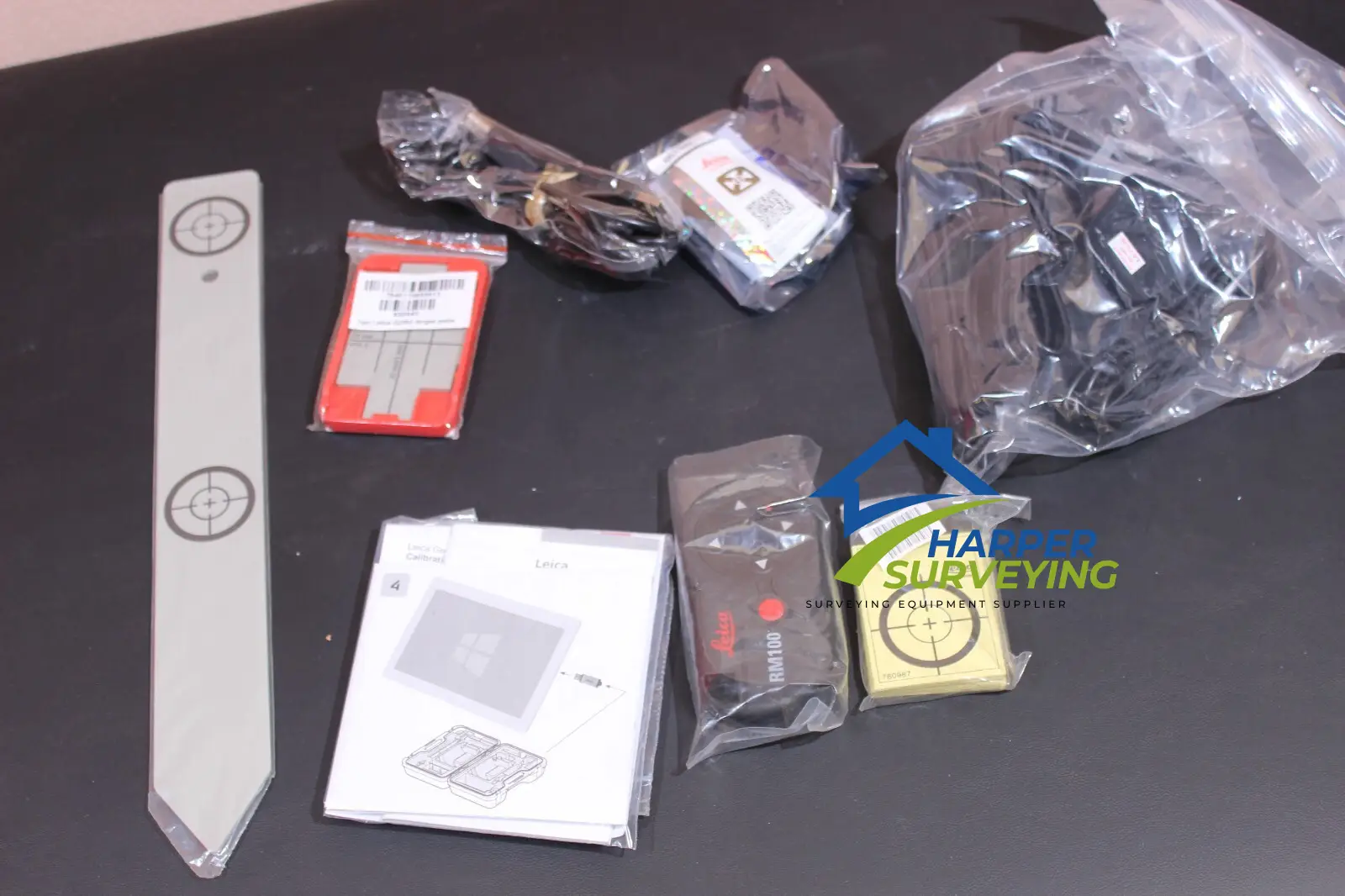
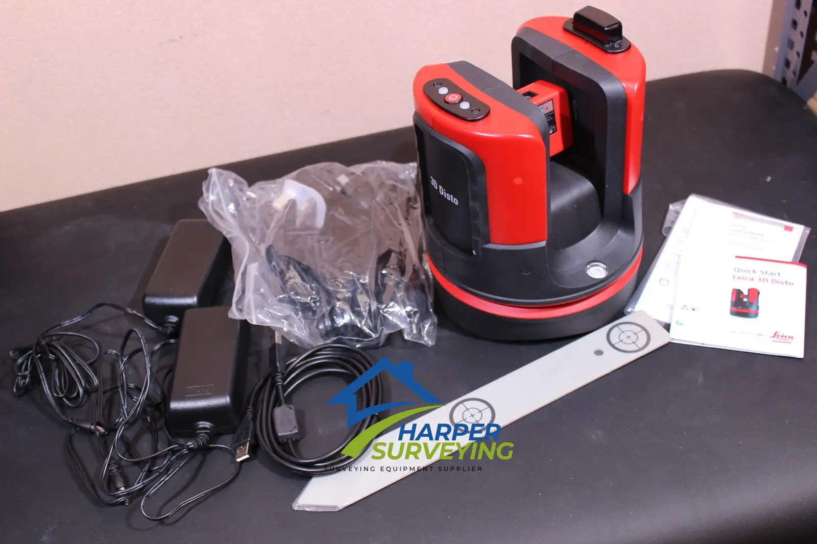
Leica 3D DISTO Include
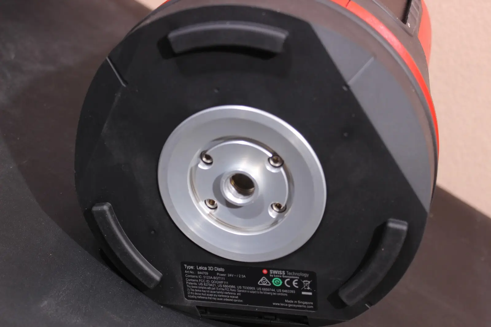
- Leica 3D Disto
- License for 3D Disto Software for Windows®
- Remote control RM100
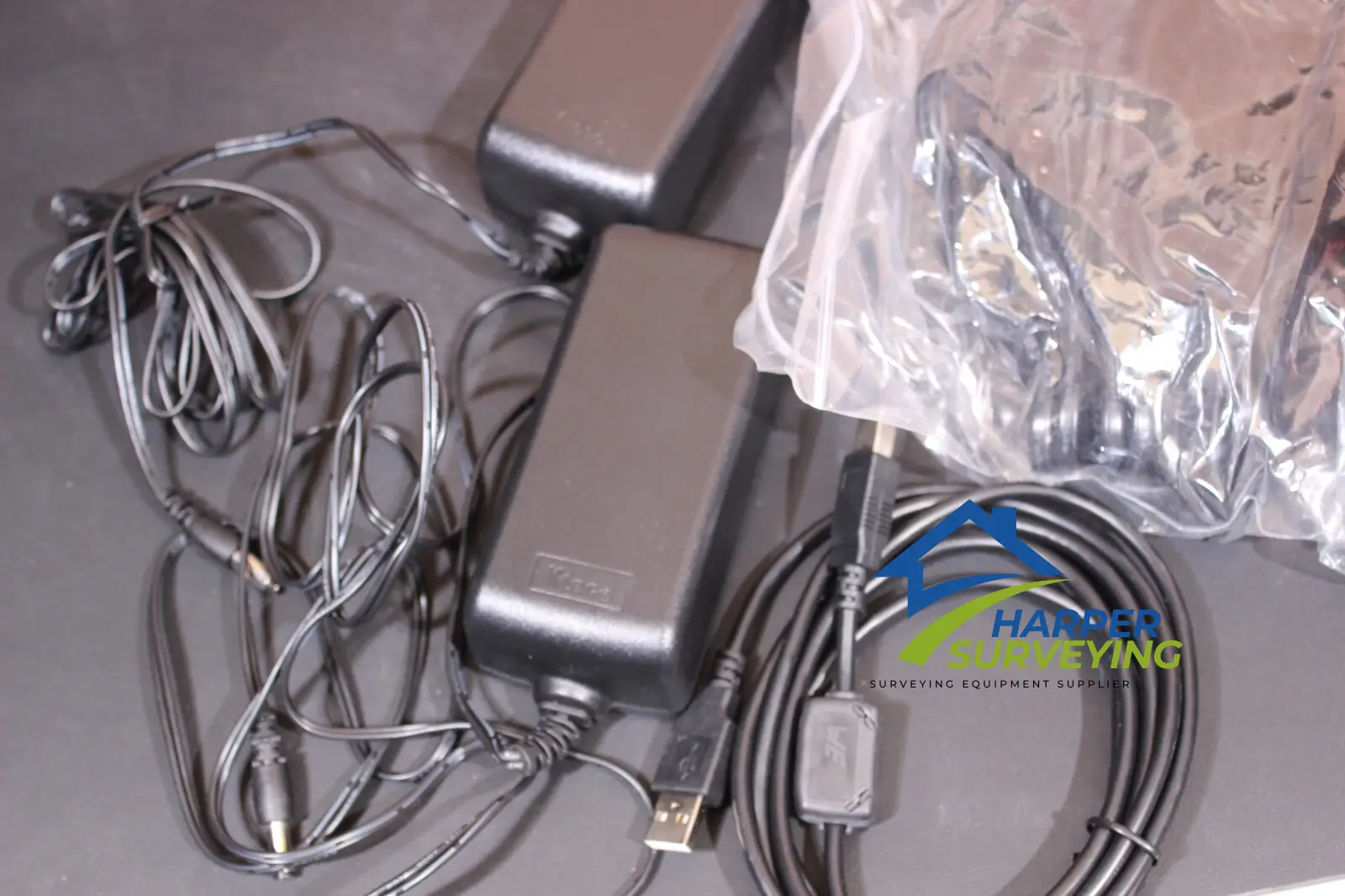
- Power supply for 3D Disto
- 4 country specific powercords for worldwide use
- Power supply for control unit
- 4 country specific adapter plugs for worldwide use
- USB memory stick
- Self-adhesive target points
- Ruler (for measuring hidden points)
- Leica GZM3 target plate
- 2x USB cable
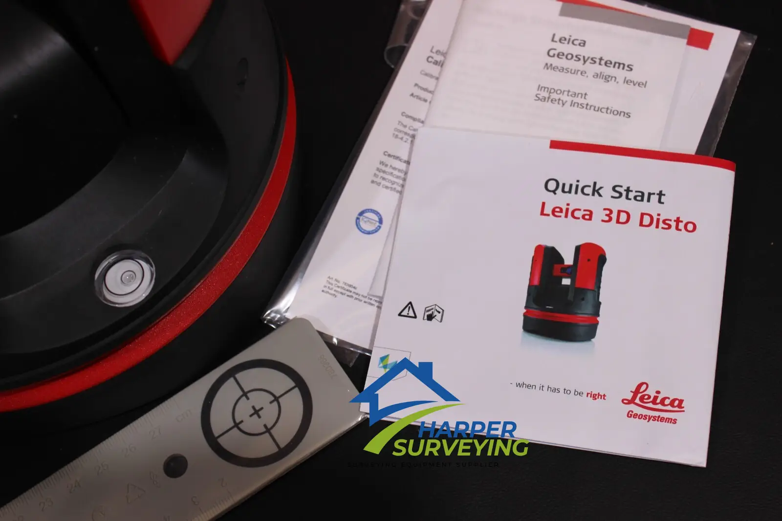
- Quickstart
- Tablet