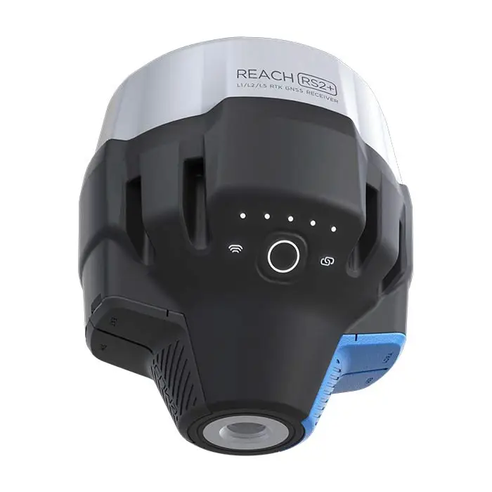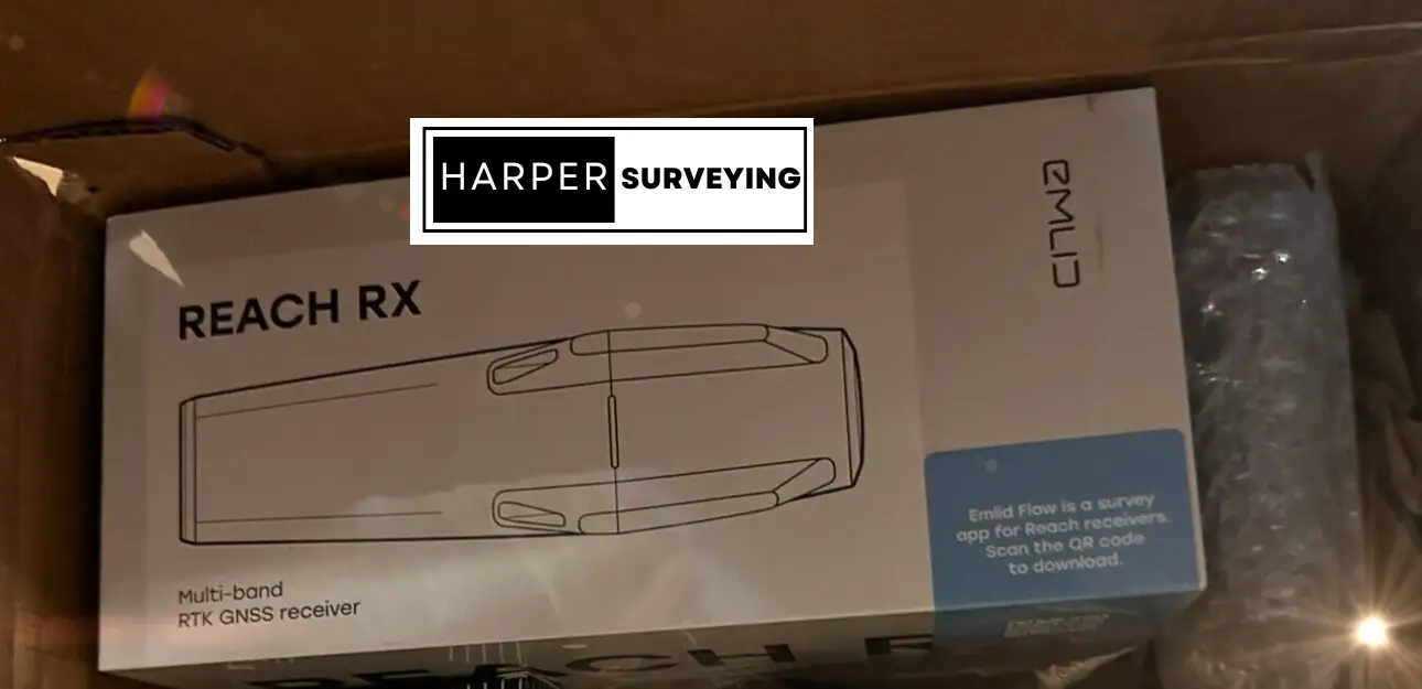
The Emlid Reach RX Network RTK Rover is a compact, lightweight GNSS receiver offering professional-grade accuracy. Its multi-band RTK technology ensures reliable centimeter-level precision. Easy to integrate with UAVs and other devices, it’s perfect for surveying, mapping, and agricultural applications, with long battery life and robust connectivity.
Pocket-sized and lightweight rover for data collection with centimeter accuracy. This new generation is updated with the MFi (Made for iPhone/iPad) certification and is fully compatible with popular third-party GIS apps for both iOS and Android devices.
Works with network corrections (NTRIP) and comes with the Emlid Flow app, which enables you to control Emlid Reach receivers.
Compact and Powerful
Centimeter Accurate Data
Tracks GPS / QZSS / Galileo / GLONASS / BeiDou. Gets a FIX in up to 5 seconds.
Just add NTRIP
Reach RX is a network rover. Gets corrections from any NTRIP service in RTCM3. No settings to get wrong.
No training is Required
Saves time for professional surveyors and non-surveyors—no additional setup.
Easy to Set Up: Just add NTRIP
Reach RX uses Bluetooth allowing you to connect and start surveying in a few seconds. No settings to get wrong.Lightweight, rugged, and effortless to use, Reach RX delivers centimeter-accurate positioning with rapid fixes using GPS, Galileo, GLONASS, and BeiDou. It works with any NTRIP service, integrates seamlessly with Emlid Flow and ArcGIS Field Maps, and runs for 16 hours on a single charge. With an IP68 rating and USB-C fast charging, it’s the ultimate hassle-free RTK rover for precise surveying and GIS.
Emlid Reach RX Key Features
Easy to set up: just add NTRIP
The Emlid Reach RX uses Bluetooth Low Energy (BLE) that allows you to connect and start surveying with your smartphone or tablet in a few seconds. Enable Bluetooth on your iOS or Android device, find your Reach RX in Emlid Flow, add network correction credentials, and collect your first point. No setting to get wrong.
Centimeter accurate results
The Emlid Reach RX tracks GPS/QZSS, Galileo, Glonass, and Beidou and gets a fix in under 5 seconds even in challenging conditions.
Integrate with 3rd-party applications
The Emlid Reach RX uses Bluetooth and effortlessly integrates with surveying apps:
- ArcGIS Field Maps
- QField
- MicroSurvey FieldGenius
- Global Mapper
- Mergin Maps
- Avenza Maps
Pocket-sized and lightweight
The weight of Reach RX is just 250 grams. Take it anywhere—it weighs less than a can of soda and fits in any glove compartment or a backpack pocket.
No need for special training
With the Reach RX, you can forget about spending time on in-person training and courses. Reach RX is designed to meet the expectations of both experienced professionals and non-surveyors who need to get highly-accurate results. Now anyone on the team can start using RTK.
Works with network corrections (NTRIP) and comes with the Emlid Flow app, which enables you to control Emlid Reach receivers.
GNSS
GPS/QZSS L1C/A, L2C
GLONASS L1OF, L2OF
BeiDou B1I, B2I
Galileo E1-B/C, E5b
Positioning
RTK
Horizontal 7mm + 1 ppm
Vertical 14mm + 1 ppm
Convergence time
~5s typically
Connectivity
Bluetooth 4.2
USB Type-C
Data
Input data format: RTCM3
Input data protocol: NTRIP
Position data format: NMEA
Emlid Reach RX Package
– Emlid Reach RX
– USB Type-C cable
– Emlid Flow app (free download)
Reference
Emlid Reach RX Datasheet
Manufacturer Information