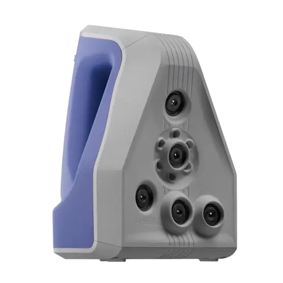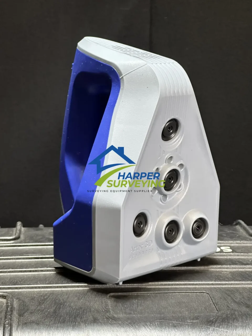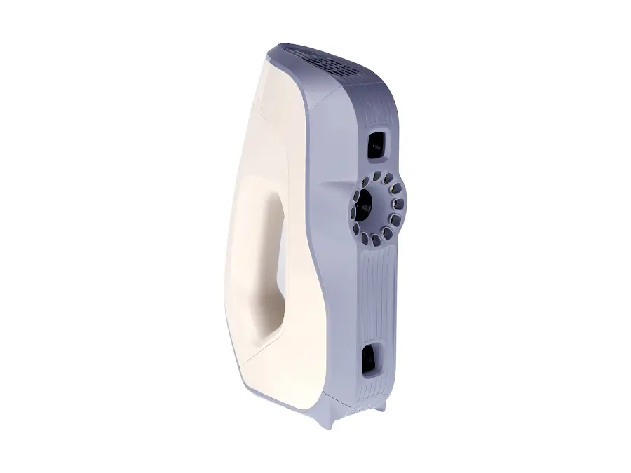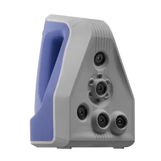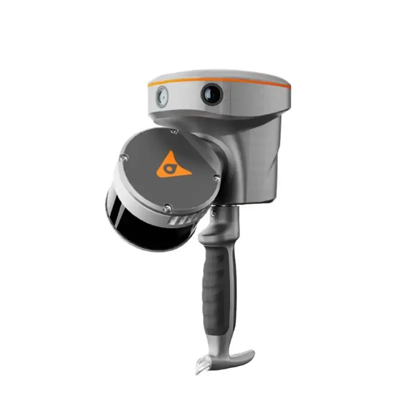


The CHCNAV RS10 SLAM GNSS LiDAR Mobile Laser Scanner brings a new approach to geospatial surveying by integrating GNSS RTK, laser scanning, and visual SLAM technologies into a single platform designed to improve the efficiency and accuracy of indoor and outdoor 3D scanning and surveying tasks.
The CHCNAV RS10 integrates GNSS RTK, laser scanning, and visual SLAM technologies into one single platform. This fusion increases the efficiency and accuracy of both indoor and outdoor 3D scanning and surveying tasks. It gives surveyors the ability to work in areas with weak GNSS signals, providing unparalleled flexibility. Designed for surveying, BIM, forestry, power line inspection, underground mapping, and more, the RS10 embodies versatility, making it an essential tool for professionals looking to expand their surveying capabilities.
The CHCNAV RS10 is a versatile solution for surveying, civil engineering, and BIM professionals, as well as for applications such as agricultural and forestry surveying, power line inspection, material pile volume calculation, and data collection in underground spaces.
With the CHCNAV RS10 , surveyors are able to overcome the challenges of surveying in areas with poor or no GNSS signals, bringing a new level of flexibility and accuracy to their work. By supporting both traditional GNSS RTK surveying and innovative 3D reality capture, the RS10 simplifies fieldwork and improves data reliability.
CHCNAV RS10 Feature
Integrated GNSS RTK and SLAM
Combine GNSS RTK and SLAM for unparalleled flexibility. The RS10 ensures precise data collection in areas with weak or no GNSS signals, enhancing indoor and outdoor surveying accuracy.
High-Precision Measurement
Achieve 5 cm absolute measurement accuracy with the 4th generation GNSS antenna and high-precision LiDAR. The RS10 delivers reliable data for detailed architectural surveys and complex infrastructure projects.
Real-Time SLAM Mapping
The CHCNAV RS10 creates georeferenced point clouds directly in the field with real-time SLAM capabilities. It provides immediate feedback on collected data, allowing for on-the-fly adjustments to ensure complete coverage.
Efficient Loop-Free Workflow
Eliminate the need for traditional loop closure with integrated GNSS and SLAM technologies to simplify field data collection and reduce project completion time and effort.
Versatile Application Support
Use the CHCNAV RS10 for a wide range of applications, from BIM and forestry to power line inspection and underground mapping. Its versatility makes it an invaluable tool for professionals in various fields.
Comprehensive Software Integration
The CHCNAV RS10 streamlines your workflow with the SmartGo and CoPre software for real-time data visualization and point cloud processing. It supports efficient and accurate data management from collection to modeling.
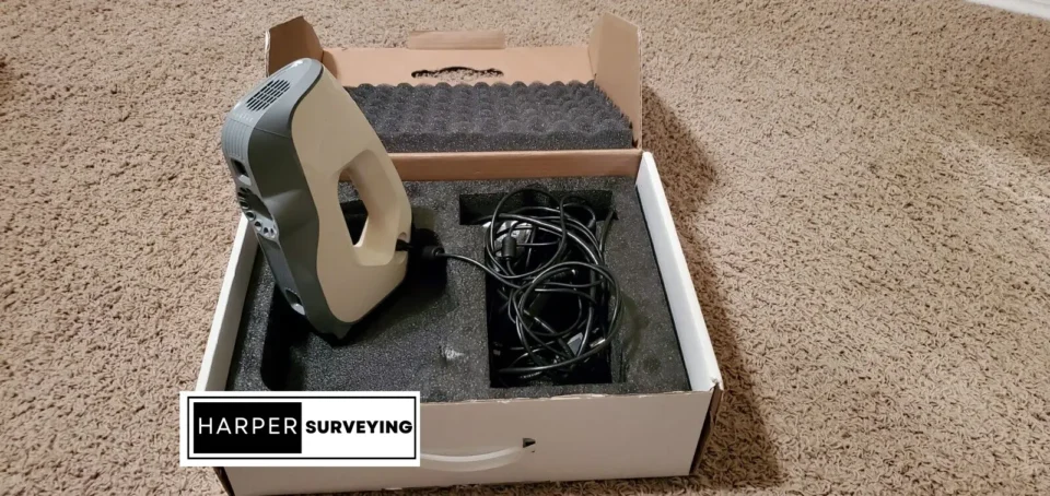
Durable and Lightweight Design
Operate in challenging environments with the IP64-rated, lightweight RS10. The robust design ensures reliability and ease of use in diverse conditions.
Hot-Swappable Battery
Maintain continuous operation with the hot-swappable lithium battery. The RS10 offers 60 minutes of runtime per battery, allowing for seamless replacement without powering off the unit.