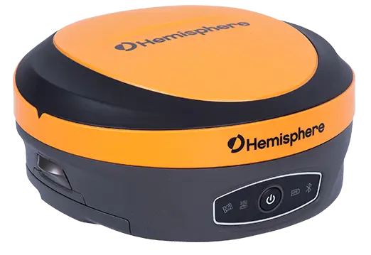


The Topcon HiPer VR is compact, light and packed with the most advanced GNSS technology in a design built to withstand the harshest field environments. Using Topcon’s advanced GNSS chipset with Universal Tracking Channels Technology, the HiPer VR automatically tracks every satellite signal above – now and into the future.
All signals, all satellites and all constellations — in a compact, rugged design, with an integrated IMU and eCompass.
The Topcon HiPer VR is a complete solution and versatile in many ways. It can be used for static or kinematic GNSS post-processed surveys, as a network RTK rover with the FC-5000’s internal 4G/LTE cellular modem, as a UHF/FH/Longlink jobsite RTK rover, and also in Topcon’s patented Hybrid Positioning workflow.
Topcon HiPer VR top features
- Universal tracking technology for all satellites and constellations (GPS, GLONASS, Galileo, Beidou, IRNSS, QZSS, SBAS) covering all modernized signals
- Field tested, field ready IP67 design
- Compact form factor ideal for Millimeter GPS and Hybrid Positioning
- Revolutionary 9-axis IMU and ultra-compact 3-axis eCompass
- Integrated 400 MHz UHF Tx/Rx Radio Modem
- Integrated License free 900 MHz Radio Modem, FH915 protocol 1
The Hiper VR is one of the Current GPS Receiver in Topcon’s line of Hiper-Series Base/Rovers. The internal radios are 410-470 MHz UHF II and will work with most Topcon Base/Rover and Machine Control Kits operating at the same frequency

Topcon HiPer VR Features
- Compact, lightweight, rugged design
- Field tested, field ready IP67 design
- Compact form factor ideal for Hybrid Positioning
- Revolutionary 9-axis IMU and ultra-compact 3-axis eCompass
Topcon HiPer VR Technical Specification
| Channels: | 226 GNSS channels Vanguard Technology™ with Universal Tracking Channels™; 2 reserved for L-band |
| Antenna Type: | Integrated Full wave Fence Antenna™ technology with internal ground plane |
| GPS: | L1 C/A, L1C, L1P(Y), L2P(Y), L2C, L5 |
| GLONASS: | L1 C/A, L1P, L2C/A, L2P, L3C |
| Galileo: | E1, E5a, E5b, E5 Alt-BOC |
| BeiDou: | B1, B2 |
| IRNSS (NavIC) | SPS-L5 |
| SBAS Corrections: | WAAS/EGNOS/MSAS |
| QZSS: | L1 C/A, L1C, L2C, L5 |
| L-band: | Yes |
| TILT™: | Topcon Integrated Leveling Technology™ |
| Internal Memory: | 8 GB |
| Update Rate: | Up to 20Hz |
| Size: | 14.90 cm (W) x 9.46 cm (H), 5.86 in (W) x 3.72 in (H) |
| Weight: | 1.061 kg (2.33 lb) |
| Ingress Protection: | Dust and Water IP67 |
| Vibration: | MIL-STD 810G |
| Drop: | Survive 2m pole drop on concrete surface |
| Operating Temperature: | -40 °C to 65 °C, -40 °F to +149 °F |
| Humidity: | 100% |
| External Power Supply: | 9.0 – 27.0 V DC |
| Internal Battery: | Li-ion 5,200 mAh, 3.7 V |
| External Battery: | Li-ion 11,600 mAh, 3.7 V |
| Operating Time with Radio: | RX mode – 10 hr, TX mode 1W – 6 hr, Use of external 12V battery is recommended when using as a base |
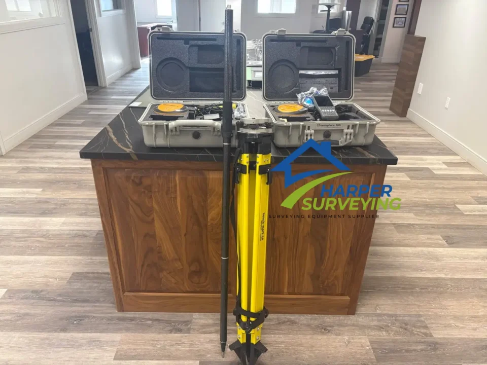
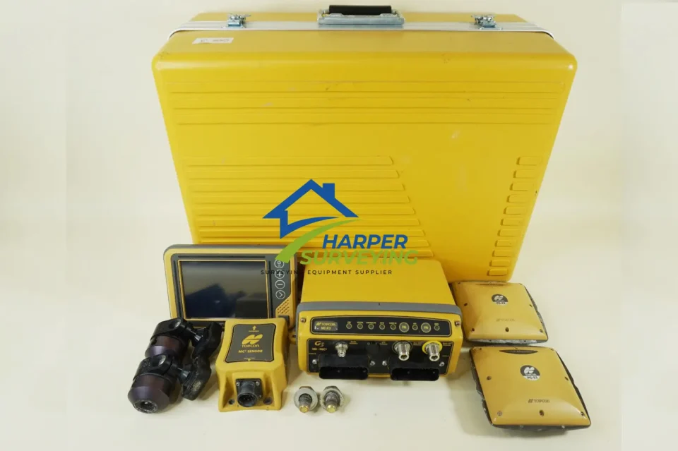
Topcon HiPer VR Includes
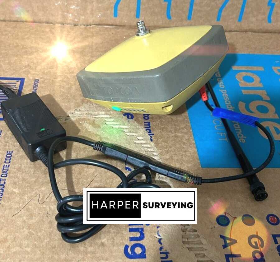
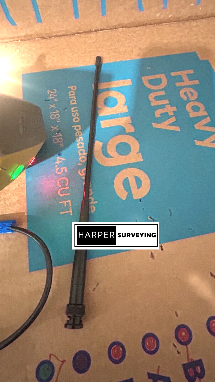
– Internal Digital UHF II 410-470 MHz Rx/Tx Radios
– Utilizes GPS, L2C, L5, GLONASS, Galileo, QZSS, BeiDou & SBAS Satellites
1 – 12V Power Supply w/ Alligator Clips
2 – Topcon SAE Extensions
2 – Topcon Power Supply Chargers
1 – Seco Base Extension Rod
2 – 410-470 MHz Radio Antennas
1 – Serial Data Cable
1 – USB Data Cable
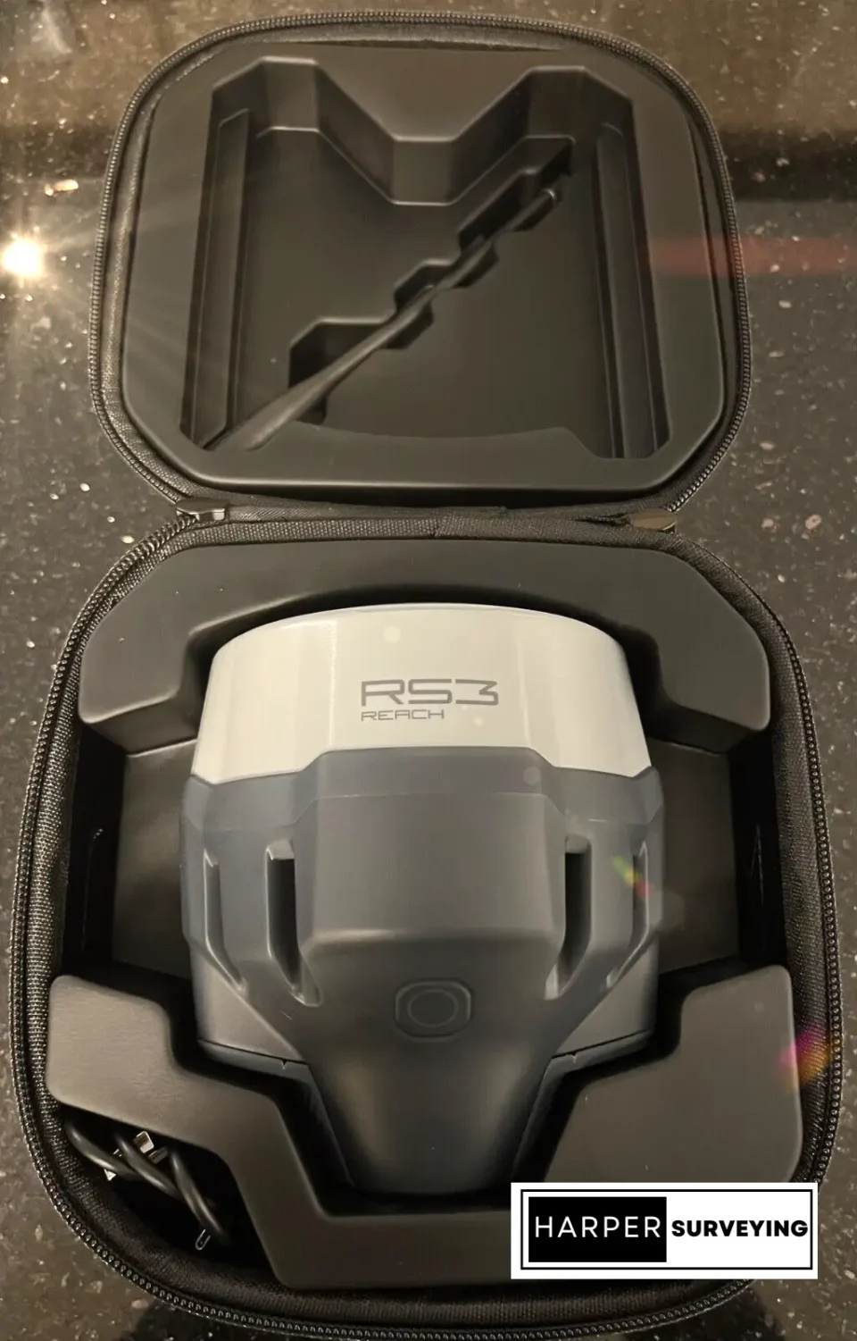
1 – Topcon Transport Case