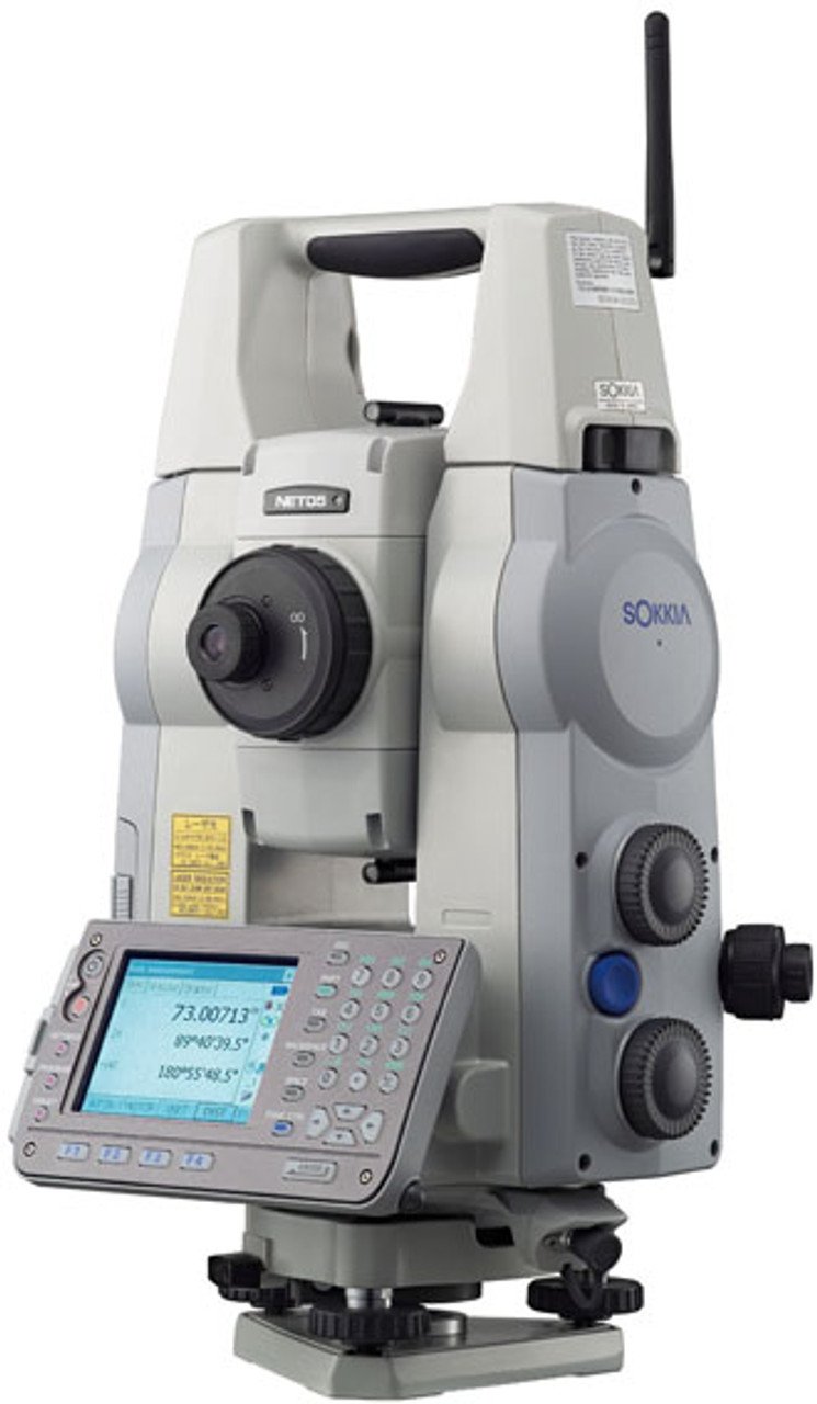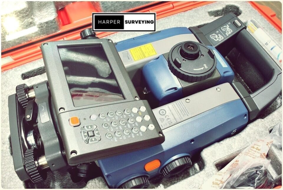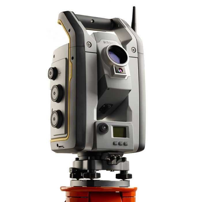

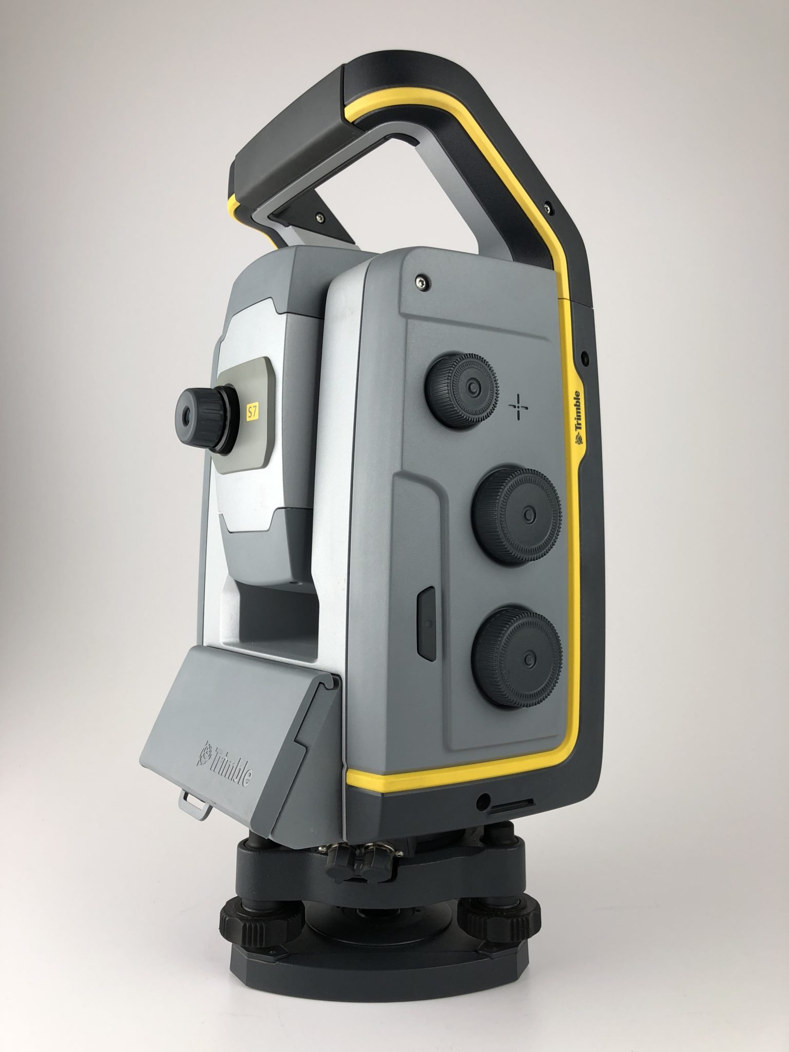
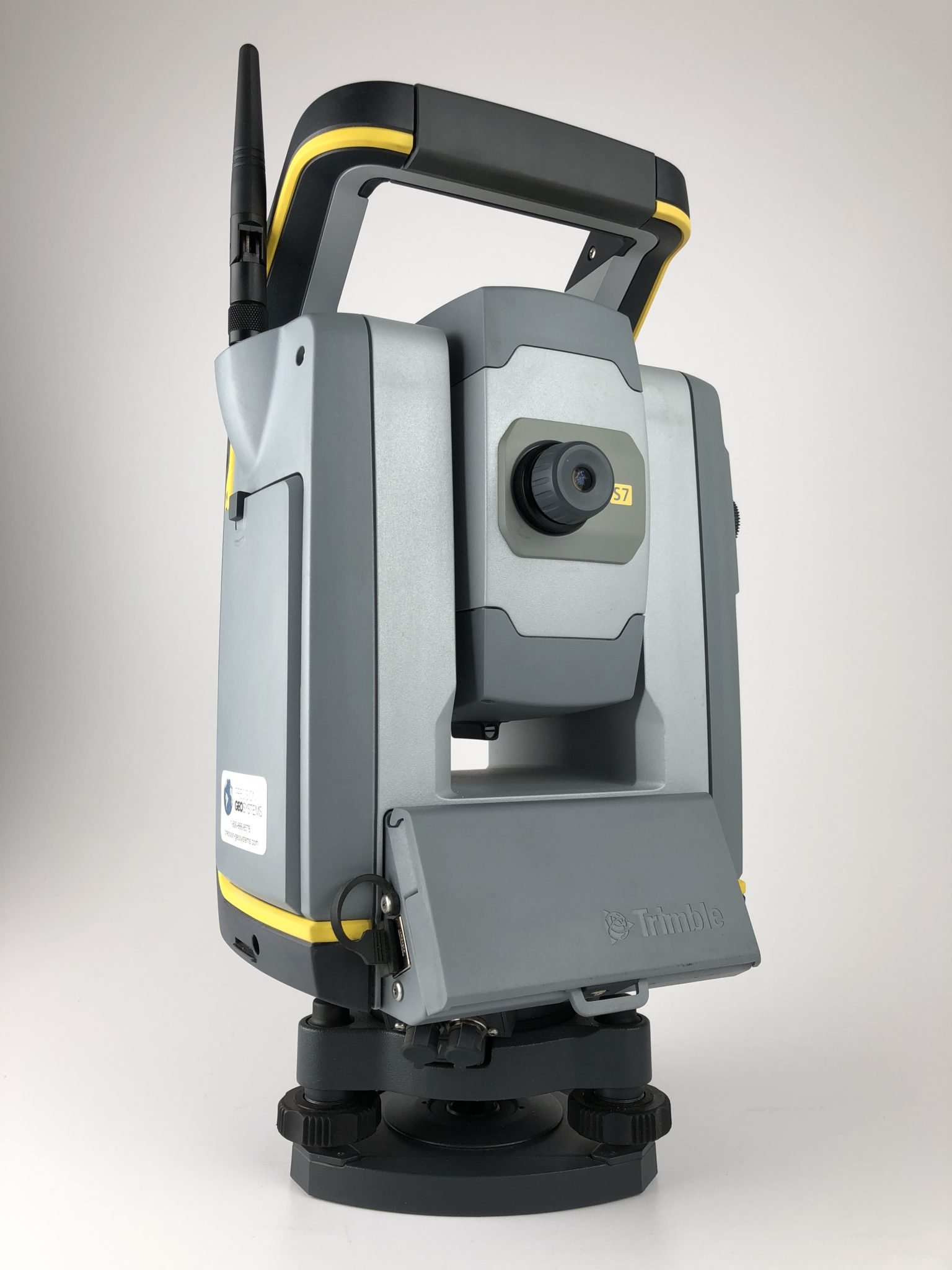
Trimble S7 Robotic Total Station combines scanning, photo, and measurement in one and the same powerful solution.
Now you only need to have one instrument at the workplace to collect all kinds of data. Create 3D models, high-accuracy visual documentation, point clouds, and more using Trimble S7, Trimble Access field software, and Trimble Business Center office software.
Trimble S7 Robotic Total Station enables crews to remain productive and efficient, collecting data quickly and accurately on various jobs.
Replacing the S6, the S7 was introduced in 2015 as part of a new lineup (including the S5 and S9). The Trimble S7 Robotic Total Station promotes the”all-in-one” model with all the newest updated VISION technology, Locate2Protect assistance, and 3D scanning as standard options.
THE MOST PRODUCTIVE TOTAL STATION
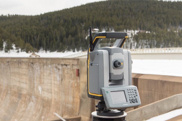
The Trimble S7 Robotic Total Station is the ultimate system for efficient surveying, letting you adapt to almost any situation and increasing your productivity in the field. The combination of SureScan, Trimble VISION™, FineLock™, and DR Plus engineering, along with some different features, means you’ll be able to collect information faster and more precisely than ever.
Integrated 3D Scanning
Now you have the flexibility to carry out feature-rich scans daily. Efficiently capture the information you want to create digital terrain models (DTMs), execute volume calculations, and make topographic measurements quicker than traditional surveying methods. SureScan technology enables you to gather and process data faster by focusing on collecting the right points, not just more points.
Improved Trimble VISION Technology
Trimble VISION technology allows you to direct your survey with live video images on the control and create a vast array of deliverables from collected imagery. Instantly document your site and add notes straight to the pictures from the area to ensure you never miss this crucial information.
Superior Accuracy with Trimble DR Plus
DR Plus, range measurement technology, offers an extended assortment of Direct Reflex dimensions without a prism. You can quantify further with fewer tool set-ups and enhance your scanning functionality. DR Plus, together with the smooth and silent MagDrive™ servo technology, creates the unmatched capability for quick dimensions without compromising accuracy.
Stay On Point
Reduce aiming error, avoid costly re-measurement and be confident in your results using Trimble SurePoint™. The Trimble S7 Robotic Total Station aims and stays on goal through wind, handling, and sinkage, knowingly adjusting for unwanted movement, and ensuring precise pointing and dimension every moment.
With its exclusive MultiTrack™ engineering and Target ID capacities, surveyors can decide on the sort of goal, passive or active, that best suits the job site conditions and be confident that they’ll find and lock into the proper target.
Manage Your Assets
Know where your total stations are 24 hours daily with Trimble Locate2Protect technology. See where your gear is at any given moment and receive alarms if your device leaves a job site or experiences unexpected equipment abuse or shock. Trimble InSphere™ Equipment Manager lets you see usage and keep up-to-date on firmware, applications, and maintenance requirements. Using Trimble Locate2Protect and InSphere Equipment Manager, you can rest assured knowing your gear is up-to-date and where it ought to be.
Pick from various Trimble controls operating the characteristic rich, intuitive Trimble Access area computer software. Streamlined workflows like Roads, Utilities, and Pipelines manual crews through common job types, helping to get the job done quicker with fewer distractions. Trimble Access workflows may also be customized to satisfy your needs. Back in the office, expect Trimble Business Center to assist you to check, process, and adjusting your mind and GNSS data in 1 software solution.
Powerful Field and Office Software
Choose from a variety of Trimble controllers operating the feature rich, intuitive Trimble Access field software. Streamlined workflows like Roads, Utilities and Pipelines guide crews through common project types, helping to get the job done faster with less distractions. Trimble Access workflows can also be customized to fit your needs. Back in the office, trust Trimble Business Center to help you check, process and adjust your optical and GNSS data in one software solution.
Trimble S7 Features
- Surveying, imaging and 3D scanning in one powerful solution
- Improved Trimble VISION technology for video robotic control, scene documentation and photogrametric measurements
- Locate2Protect real-time equipment management
- Trimble DR Plus for long range and superior accuracy
- Intuitive Trimble Access Field Software
- Trimble Business Center Offi ce Software for quick data processing
Trimble S7 Compatible
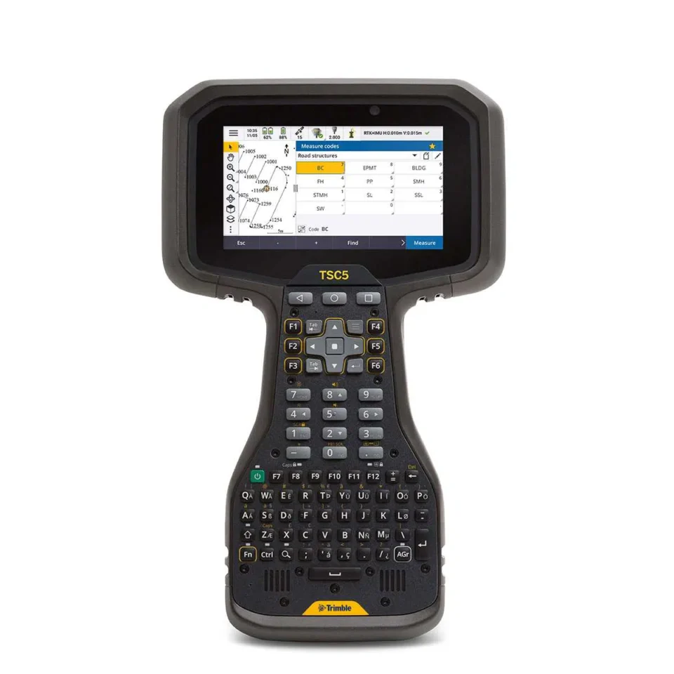
- TSC7, TSC5, TSC3 and TCU5 Controllers
- R12, R10 and R8S Integrated GNSS Systems
- T10 and T7 Tablets
Trimble S7 Specifications
| PERFORMANCE | |
| Angle measurement | |
| Sensor type | Absolute encoder with diametrical reading |
| Accuracy (Standard deviation based on DIN 18723) | 1″ (0.3 mgon) 2″ (0.6 mgon), 3″ (1.0 mgon), or 5″ (1.5 mgon) |
| Display (least count) | 0.1″ (0.01 mgon) |
| Automatic level compensator | |
| Type | TypeCentered dual-axis |
| Accuracy | 0.5″ (0.15 mgon) |
| Range . | ±5.4’ (±100 mgon) |
| Distance measurement | |
| Accuracy (RMSE) Prism mode |
Standard: 1 mm + 2 ppm (0.003 ft + 2 ppm) Tracking: 4 mm + 2 ppm (0.013 ft + 2 ppm) |
| DR mode | Standard: 2 mm + 2 ppm (0.0065 ft + 2 ppm) Tracking: 4 mm + 2 ppm (0.013 ft + 2 ppm) Extended range: 10 mm + 2 ppm (0.033 ft + 2 ppm) |
| Measuring time | |
| Prism mode | Standard: 1.2 sec Tracking: 0.4 sec |
| DR mode | Standard: 1–5 sec Tracking: 0.4 sec |
| Measurement range | |
| Prism mode | 1 prism: 2,500 m (8,202 ft) 1 prism Long Range mode: 5,500 m (18,044 ft) (max. range) Shortest possible range: 0.2 m (0.65 ft) |
| Scanning | |
| Range | from 1 m up to 250 m (3.28 ft–820 ft) |
| Speed | up to 15 points/sec |
| Minimum point spacing | 10 mm (0.032 ft) |
| Standard deviation | 1.5 mm @ ≤50 m (0.0049 ft @ ≤164 ft) |
| Single 3D point accuracy | 10 mm @ ≤150 m (0.032 ft @ ≤492 ft) |
| EDM SPECIFICATIONS (DR PLUS) | |
| Light source | Pulsed Laser diode 905 nm; Laser class 1 |
| Beam divergence | Horizontal: 2 cm/50 m (0.06 ft/164 ft) Vertical: 4 cm/50 m (0.13 ft/164 ft) |
| SYSTEM SPECIFICATIONS | |
| Leveling | |
| Circular level in tribrach | 8’/2 mm (8’/0.007 ft) |
| Electronic 2-axis level in the LC-display with a resolution of | 0.3″ (0.1 mgon) |
| Servo system | |
| MagDrive servo technology | Integrated servo/angle sensor electromagnetic direct drive |
| Rotation speed | 115 degrees/sec (128 gon/sec) |
| Rotation time Face 1 to Face 2 | 2.6 sec |
| Positioning speed180 degrees (200 gon) | 2.6 sec |
| Clamps and slow motions | Servo-driven, endless fine adjustment |
| Centering | |
| Centering system | Trimble 3-pin |
| Optical plummet | Built-in optical plummet |
| Magnification focusing distance | 2.3×/0.5 m to infinity (1.6 ft to infinity |
| Telescope | |
| Magnification | 30× |
| Aperture | 40 mm (1.57 in) |
| Field of view at 100 m (328 ft) | 2.6 m at 100 m (8.5 ft at 328 ft) |
| Focusing distance | 1.5 m (4.92 ft) to infinity |
| Illuminated crosshair | Variable (10 steps) |
| Autofocus | Standard |
| Camera | |
| Chip | Color Digital Image Sensor |
| Resolution | 2048 x 1536 pixels |
| Focal length | 23 mm (0.09 ft) |
| Depth of field | 3 m to infinity (9.84 ft to infinity) |
| Field of view | 16.5° x 12.3° (18.3 gon x 13.7 gon) |
| Digital zoom | .4-step (1x, 2x, 4x, 8x) |
| Exposure | Spot, HDR, Automatic |
| Brightness | User-definable |
| Image storage | Up to 2048 x 1536 pixels |
| File format | JPEG |
| Compression ratio | User-definable |
| Video streaming | . 5 frames/sec |
| AUTOLOCK AND ROBOTIC SURVEYING | |
| Autolock and Robotic Range | |
| Passive prisms | 500–700 m (1,640–2,297 ft) |
| Trimble MultiTrack Target | 800 m (2,625 ft) |
| Trimble ActiveTrack 360 Target | 500 m (1,640 Ft) |
| Autolock pointing precision at 200 m (656 ft) (Standard deviation) | |
| Passive prisms | <2 mm (0.007 ft) |
| Trimble MultiTrack Target | <2 mm (0.007 ft) |
| Trimble ActiveTrack 360 Target | <2 mm (0.007 ft) |
| Shortest search distance | 0.2 m (0.65 ft) |
| Type of radio internal/external | 2.4 GHz frequency-hopping, spread-sprectrum radios |
| Search time (typical) | 2–10 sec |
| FINELOCK | |
| Pointing precision at 300 m (980 ft) | <1 mm (0.003 ft) |
| Range to passive prisms (min–max) | 20 m–700 m (64 ft–2,297 ft) |
| Minimum spacing between prisms at 200 m (656 ft) | 0.8 m (2.625 ft) |
| GPS SEARCH/GEOLOCK | |
| GPS Search/GeoLock | 360 degrees (400 gon) or defined horizontal and vertical search window |
| Solution acquisition time | 15–30 sec |
| Target re-acquisition time | <3 sec |
| Range | Autolock & Robotic range limits |
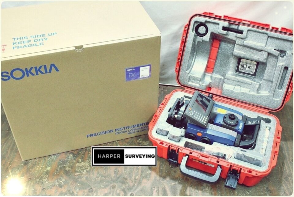
Trimble S7 Includes
- Trimble S7 3” DR Plus Robotic Total Station w/ TSC7 & DDIN DNCT40-160 Sagometer
- TSC3 with Access 2016.02 software and 2.4 GHz radio
- MT1000 Active Prism
- Back Sight Kit
- Charging Kit
- Chargers
- Cables (Hirose to Hirose)
- 3 Batteries
- Trimax Tripod
- Seco Carbon Fiber Prism Rod
- Crain Bipod
- Dutch Hill Tripod
- Includes only what you see in the pictures.
- Software Business Center Advance is already loaded onto the system.