
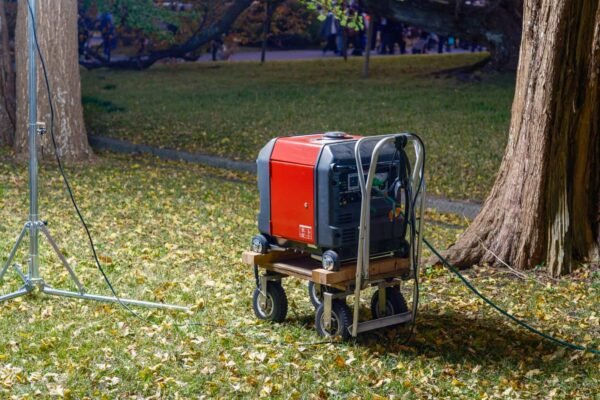
ポータブル発電機
Using the latest equipment is key in the changing field of land surveying. It helps the 測量士 ensure accuracy and efficiency in every project. Modern surveying tools, such as total stations, GPS systems, and laser scanners, have changed how professionals collect and analyze spatial data.
These advanced devices enhance accuracy and significantly reduce the time required for data acquisition and processing. For example, drone-mounted LiDAR systems help surveyors gather detailed topographical data from hard-to-reach places. At the same time, robotic total stations allow team members to work together efficiently in real-time.
Investing in modern surveying equipment increases productivity and creates new opportunities for innovative project solutions. This leads to better decisions and successful results in construction, engineering, and environmental management projects.
To help you decide on surveying equipment for your construction business, read our article from Harper Surveying.


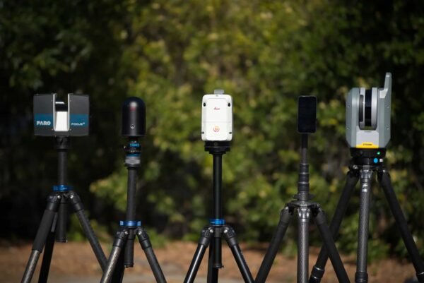
Leica BLK360 vs 競合製品:測量プロフェッショナル向けベスト代替品10選(2026年ガイド)
Leica BLK360は、レーザースキャニングをより身近なものにしました。コンパクトなデザイン、シンプルなワークフロー、そして信頼性を備えています。
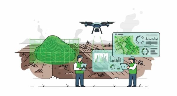
建設業向けドローンマッピング・測量ドローン トップ5
ドローンマッピングおよび測量は、ドローンによって現代の建設および土地測量作業の標準的な一部となっています。

Trimble Robotic Total Stations: How They Work, How to Use Them, and the Top 5 Models
Modern surveyors have to juggle accuracy, time, and manpower more than ever before. The rise of solo surveyors
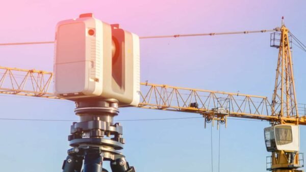
3D Laser Scanners for Building Construction and Surveying Projects
At Harper Surveying, we believe precision drives progress. With the rise of 3D laser-scanning tools, construction and surveying

From Total Stations to Drones: Comparing the Top Surveying Equipment
Top Surveying Equipment is transforming the way professionals capture data in 2026. The surveying industry is constantly evolving,